
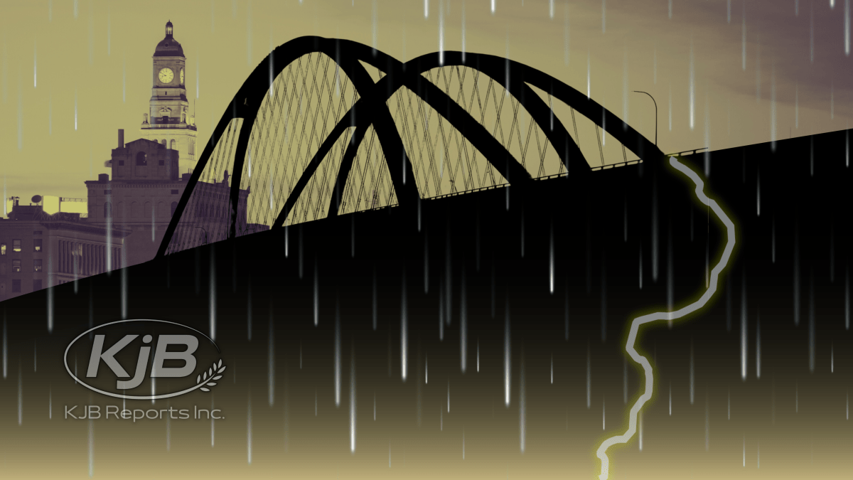
⚠️ LEVEL 3 SEVERE WEATHER THREAT FRIDAY AFTERNOON INTO EVENING
🗓️ Friday April 17
⏰ 12:00pm – 10:00pm
📍 Entire QCA region
⚠️ Destructive hail, wind
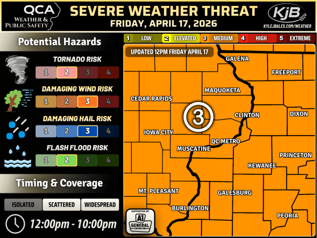
🟠 OVERALL THREAT: Level 3 of 5
🔴 PEAK POTENTIAL: Level 4 of 5
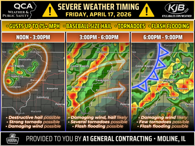
👉 Numerous thunderstorms are expected across the QCA Friday afternoon into the evening, many of which may be severe with a few intense storms capable of producing destructive large hail and wind, along with tornadoes and flash flooding.
🟧 LEVEL 3 THREAT: Generally expecting supercells to form across eastern Iowa this afternoon, where there will be the greatest risk for hail up to the size of baseballs and strong tornadoes before storms congeal into a single line, or multiple line segments later this afternoon and evening as storms advance into Illinois posing a greater risk for significant wind gusts up to 75+ mph, although tornadoes will remain possible before cold front sweeps through the QCA this evening clearing storms by around 10pm.
👉 HAVE MULTIPLE WAYS TO RECEIVE WARNING INFORMATION. ESPECIALLY IF YOU ARE OUTDOORS.
L3 PRIMARY THREATS
– Gusts up to 75+ mph likely
– Baseball size hail possible
– EF2+ tornadoes possible
– Flash flooding possible
🔘 CURRENT: LEVEL 3 • MEDIUM
📈 ODDS FOR UPGRADE: 25%
📉 ODDS FOR DOWNGRADE: 0%
POSTED 3PM THURSDAY APRIL 16
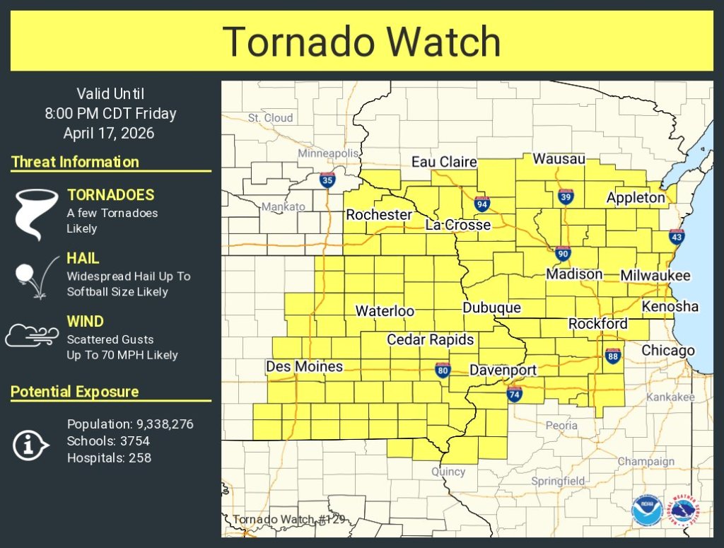
Click here for the latest watches and warnings.
Do you have storm damage?
Enter your information below and A1 General Contracting will reach out to you to arrange a free estimate.


EXPLORE KJB REPORTS


Discover more from KJB REPORTS
Subscribe to get the latest posts sent to your email.
