
Current Conditions
- Winds are North at 5.8 MPH (5 KT). The pressure is 30.41 and the humidity is 74%. The windChill is 14. Last Updated on Mar 1 2026, 4:52 am CST.
Click here for all local observations
Click here for regional observations
Local Headlines
WEATHER ALERT STATUS: MONITOR
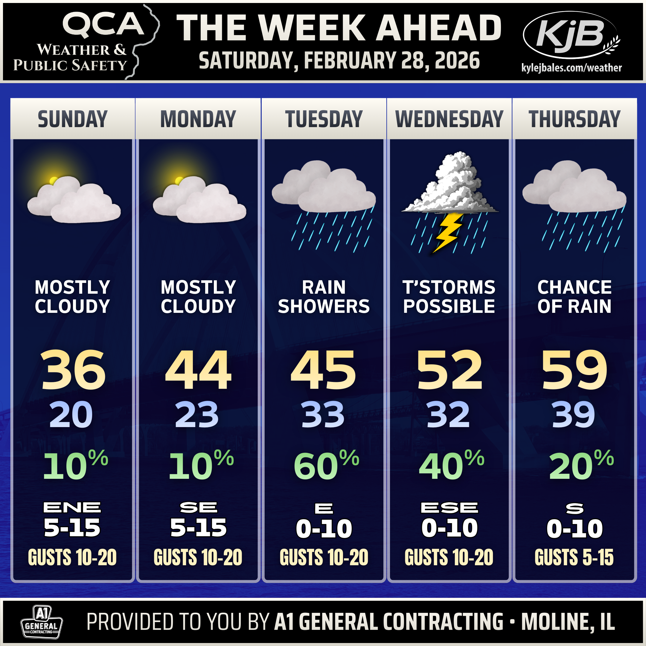
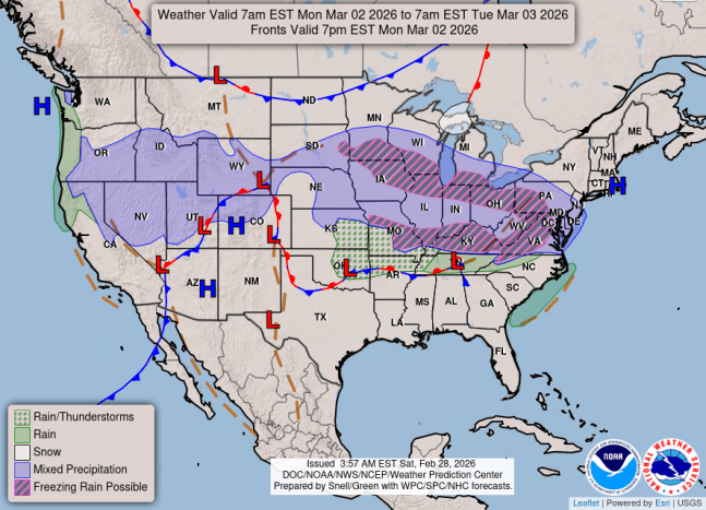
Flurries, light snow or freezing drizzle is possible Sunday night into Monday morning, mainly south of Interstate-80.
Thunderstorms are possible late Tuesday into Wednesday.
THE WEEK AHEAD
NO ACTIVE OUTLOOKS
SHORT-TERM FORECASTS
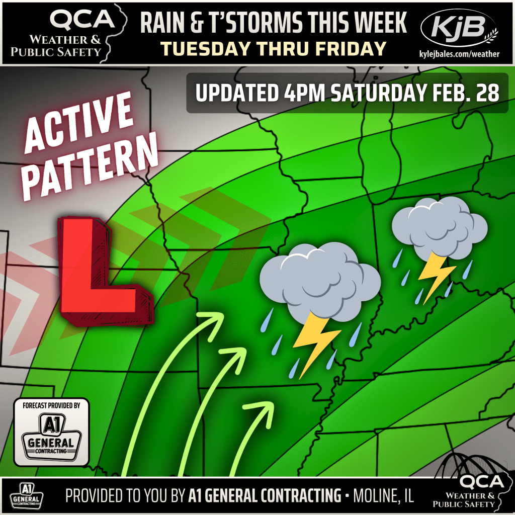
👉 Total rainfall up to 1 to 3 inches is possible across parts of the QCA region through the end of the week as multiple systems traverse the Midwest.
👉 As of right now, the area of greatest risk for severe weather and flooding is mainly south and east of the Quad Cities, but this will need to be monitored.
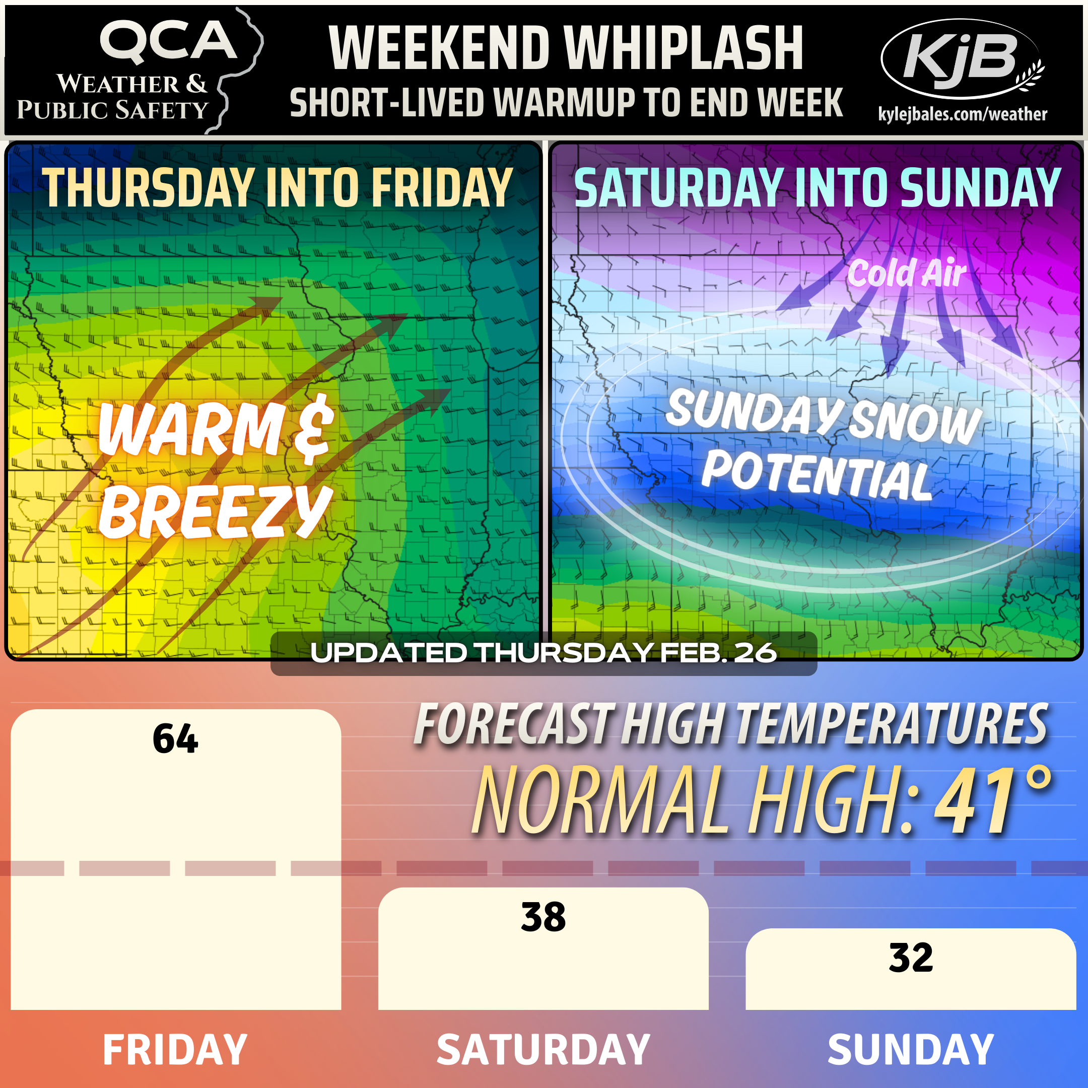
👉 Light snowfall is possible Saturday along and north of Highway 30 before snow chances increase Sunday further south.
👉 On Sunday, probabilities for up to one inch or more of snowfall have risen to around 50% in areas south of Interstate-80.
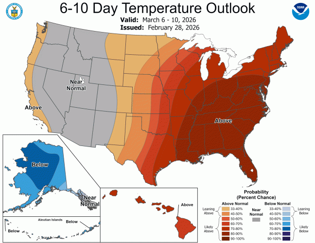
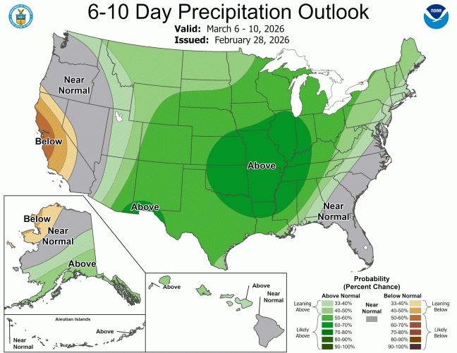
LONG-TERM FORECASTS
CLIMATE DATA
Moline
February 26
SNOWFALL
Month to date: 0.2″
Normal: 7.9″
Since Dec. 1st: 11.5″
Normal: 27.5″
Since July 1st: 20.7″
Normal: 29.9″
PRECIPITATION
Month to date: Trace
Normal: 1.58″
Since Dec. 1st: 2.45″
Normal: 5.28″
Since Jan. 1st: 0.48″
Normal: 3.24″
FEBRUARY HISTORY
All-Time High
79° in 2024
All-Time Low
-28° in 1996
Most Snowfall
22.3″ in 2014
Least Snowfall
Trace in 1987 & 1931
Follow QCA Weather
on Facebook
